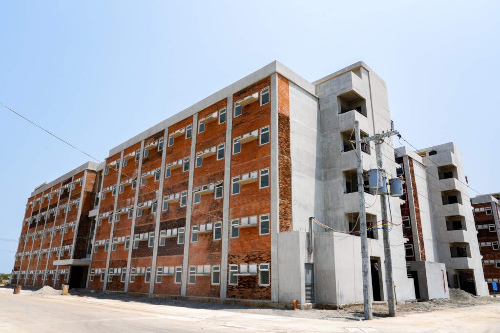
BALANGA CITY, Bataan – A joint government agency and Manila-based-private firm are set to start a comprehensive feasibility study on urban planning and flood control program and identify appropriate mitigating measures of solving flooding hitches in this City, one of the fastest growing investments hubs in Central Luzon.
Engineer Noel Valdecañas, president of Bataan Councilors League and member of the Sangguniang Panlalawigan (SP), enumerated the damages caused by the flash floods to residential houses, private and public infrastructure facilities, agricultural and fishery sectors and other structures were extensive due to existing poor flood control system
Valdecañas who chairs the Infrastructure Committee of the Sangguniang Panlungsod, has cited the role of the group from the Department of Public Works and Highways (DPWH) composed of civil engineers and technical experts from a private sector evaluating areas of the City which are highly susceptible to flood risk.
One of the options to counteract the raging floodwaters to the City is the proposal to widen the three major tributaries and removal of encroaching structures along the waterways.
The plan to strictly impose the implementation of the three-meter easement would affect a number of houses and building encroaching along the major water channels.
He explained that those illegal settlers occupying sections of the riverbanks may be transferred to the government 5 hectares relocation site in Sitio Bani, Barangay Cupang, this City.
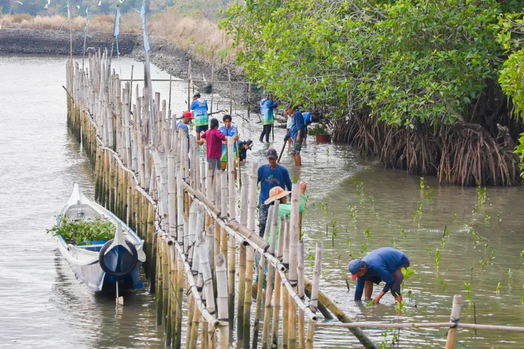
The maximum utilization of three principal rivers, namely Talisay, Pangulisan and Tuyo, as catch basins for floodwaters would provide effective direction to avoid floods which are considered as the largest natural disasters, Engineer Valdecanas said.
Ten coastal villages and flood prone communities out of the 25 barangays of the component city are oftenly affected by floodwaters coming from heavy rainfalls and high tides in Manila Bay.


 01
01
 02
02
 03
03
 04
04
 05
05