- June 9, 2026
Notification
Show More
Latest News


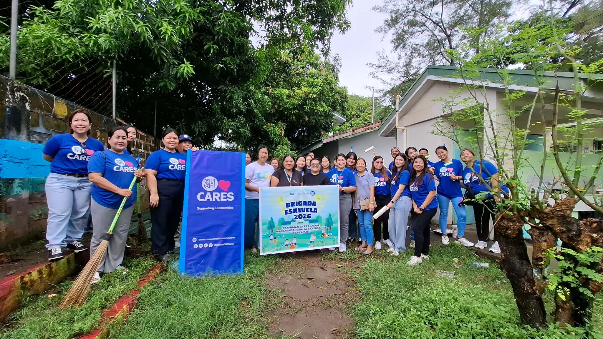
SM City Bataan joins Brigada Eskwela at Cupang
Jun 09, 2026
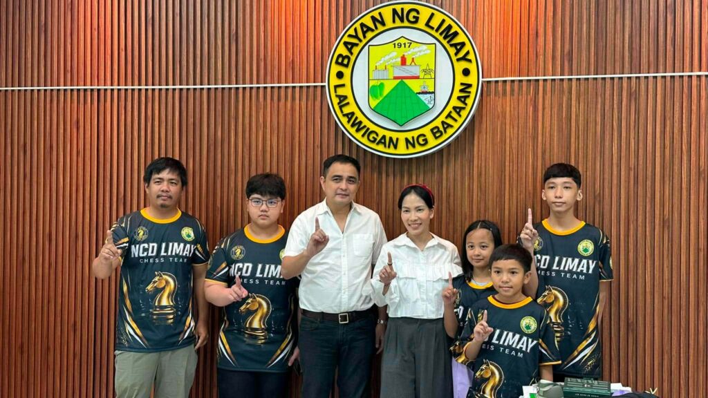
Port of Limay, Petron bring Brigada Eskwela support
Jun 09, 2026
Hermosa honors 62 senior citizens with cash gifts
Jun 09, 2026
Orani Mayor warns public vs fake FB account,
Jun 09, 2026
PDEA pinalalakas ang ugnayan sa fishing community
Jun 05, 2026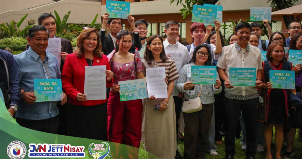
HB 9603, para sa Smoke-Free at Vape-Free na
Jun 05, 2026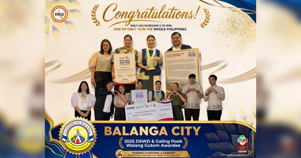
Balanga City nag-iisang Walang Gutom Awardee
Jun 05, 2026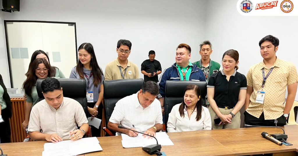
Digital payment system para sa mas mabilis na
Jun 05, 2026
 01
01
 02
02
 03
03
 04
04
Education
 Mhike Cigaral
Jun 09, 2026
Mhike Cigaral
Jun 09, 2026
Port of Limay, Petron bring Brigada Eskwela support to Lamao pupils
 05
05